Making vehicles and roads measurable.
Lagos moves on roads that few systems measure well. We build the sensing, tracking and data layers that turn vehicles and routes into information operators can use.
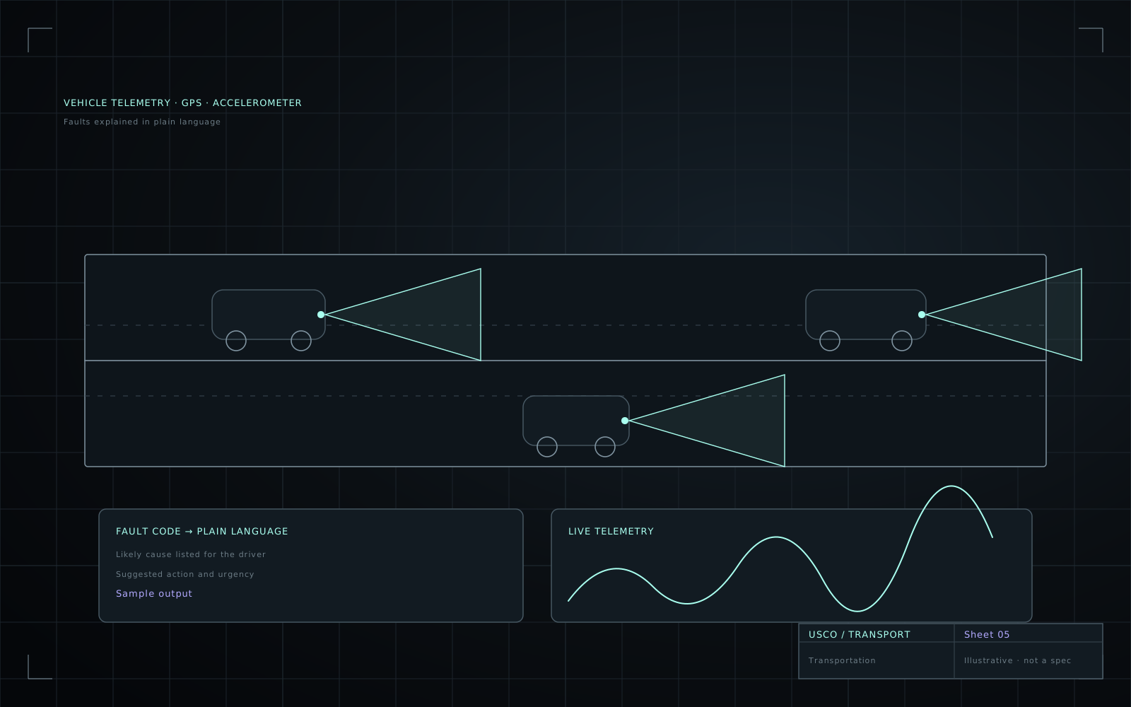
The problem on the ground.
We start with what goes wrong today, not with the technology.
Little structured road data
Road condition and traffic behaviour are rarely captured in a form that can be analysed.
Vehicles are black boxes
Fleet owners lack visibility of location, use and developing faults.
Connectivity gaps
Trackers must buffer data and report when coverage returns.
What we design around.
— Low-power trackers with store-and-forward.
— Rugged mounting and wiring for vibration and heat.
— Privacy and consent for any data collected about people.
— Local-currency affordability for fleets of many small vehicles.
Relevant systems and projects.
Each one carries its real status, so you know what is built, trialled or still an idea.
How we work in this sector.
Understand the operation
We visit, observe and listen before we specify anything.
Prototype against reality
Early builds go into the real environment, with its heat, dust, power and people.
Measure and report
Results are documented, including what did not work.
Prepare for use
Documentation, serviceability and a clear statement of what production would need.